How Germany’s EnMAP satellite is re-measuring the world


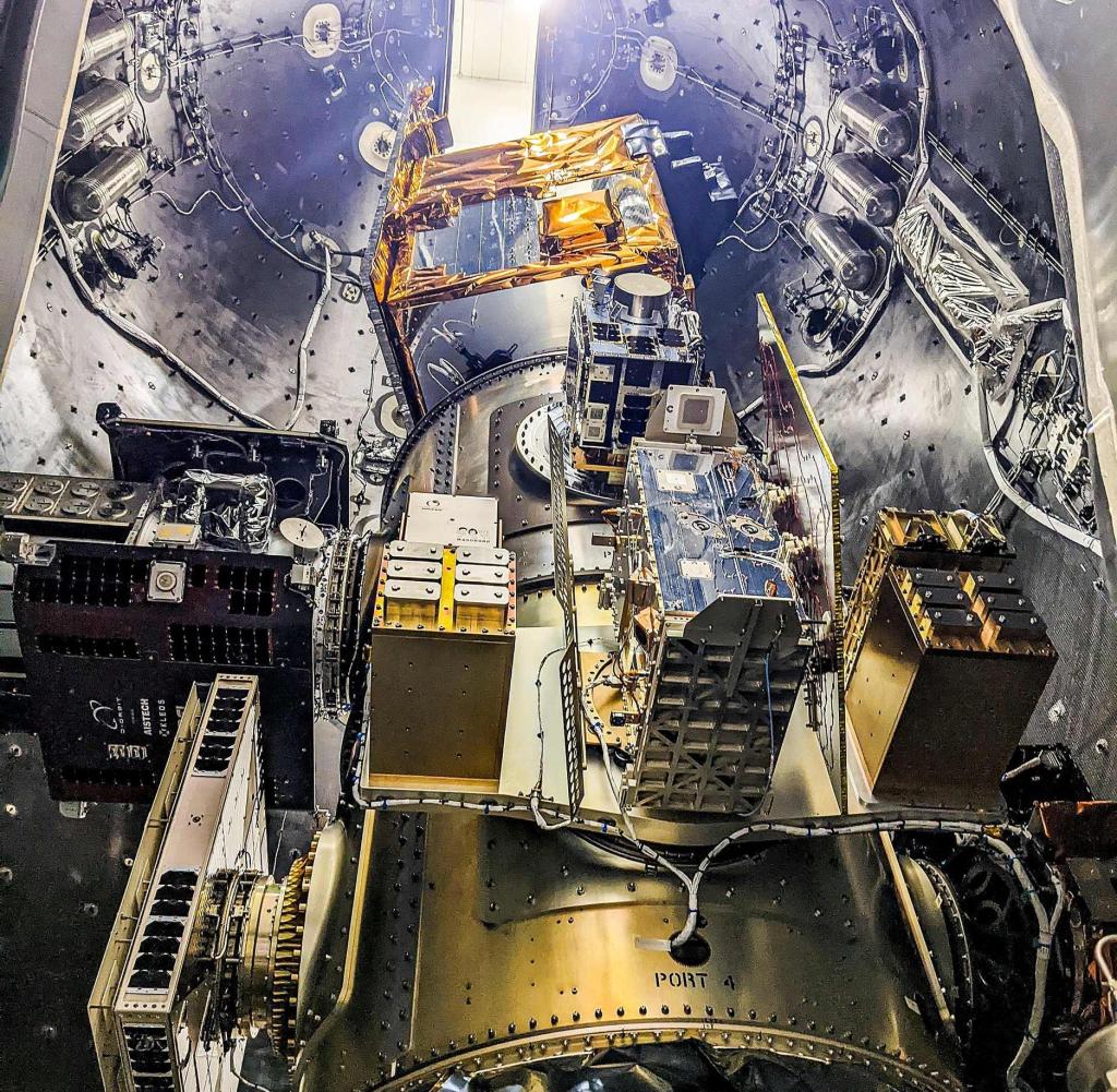
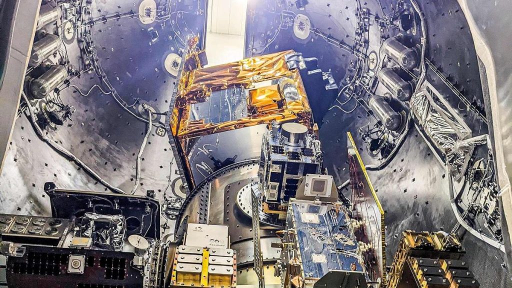
German research satellite EnMAP in the rocket before launch
Source: DLR
Many satellites orbit the Earth and provide a wide range of data about the state of the planet. Now it is being boosted by the German satellite EnMAP. It can take more than 200 measurements at the same time – thus allowing insights into an unprecedented level of detail.
The Federal Commissioner for Space, a member of the Bundestag, says: Anna Christman (green). In fact, many Earth observation satellites have been providing a wide range of information about the state of the sea, forests, and glaciers for years.
On April 1, 2022, another environmental satellite was launched into space using a Falcon 9 rocket – the EnMAP (“Environmental Mapping and Analysis Programme”) satellite developed and manufactured in Germany. Scientists hope that he will be able to observe the Earth’s surface “at a level of detail that has not been achieved until now.”
EnMAP is a so-called hyperspectral satellite that can take simultaneous measurements in 242 wavelength ranges of visible and infrared light. This is exactly what distinguishes this Earth observation system.
Information in reflected sunlight
“Using hyperspectral remote sensing technology, material compositions at the Earth’s surface can be measured,” explains the professor. Anke Caesar Bezalachairperson of the board of directors of the German Aerospace CenterDLR). “Possible areas of application range from agriculture, forestry, land use, monitoring of water bodies, geology and urban use as well as geography and natural hazards.”
Every object on Earth, be it a plant or a mineral, reflects sunlight in a very distinctive way. Certain wavelengths are emitted more strongly than others and light is particularly strongly absorbed at certain frequencies.
Because EnMAP instrumentation records light in a large number of wavelength ranges, information about the chemical composition and other properties of a substance or plant can be gleaned from space. “For example, we can accurately measure and locate plants’ health from space,” explains Sebastian Fischer, EnMAP General Project Manager.
A small satellite the size of a car weighs 850 kilograms
EnMAP data can help “sustainably improve yields in agriculture and thus ensure food security as the world’s population grows,” says DLR Board Member Walther Pelzer.
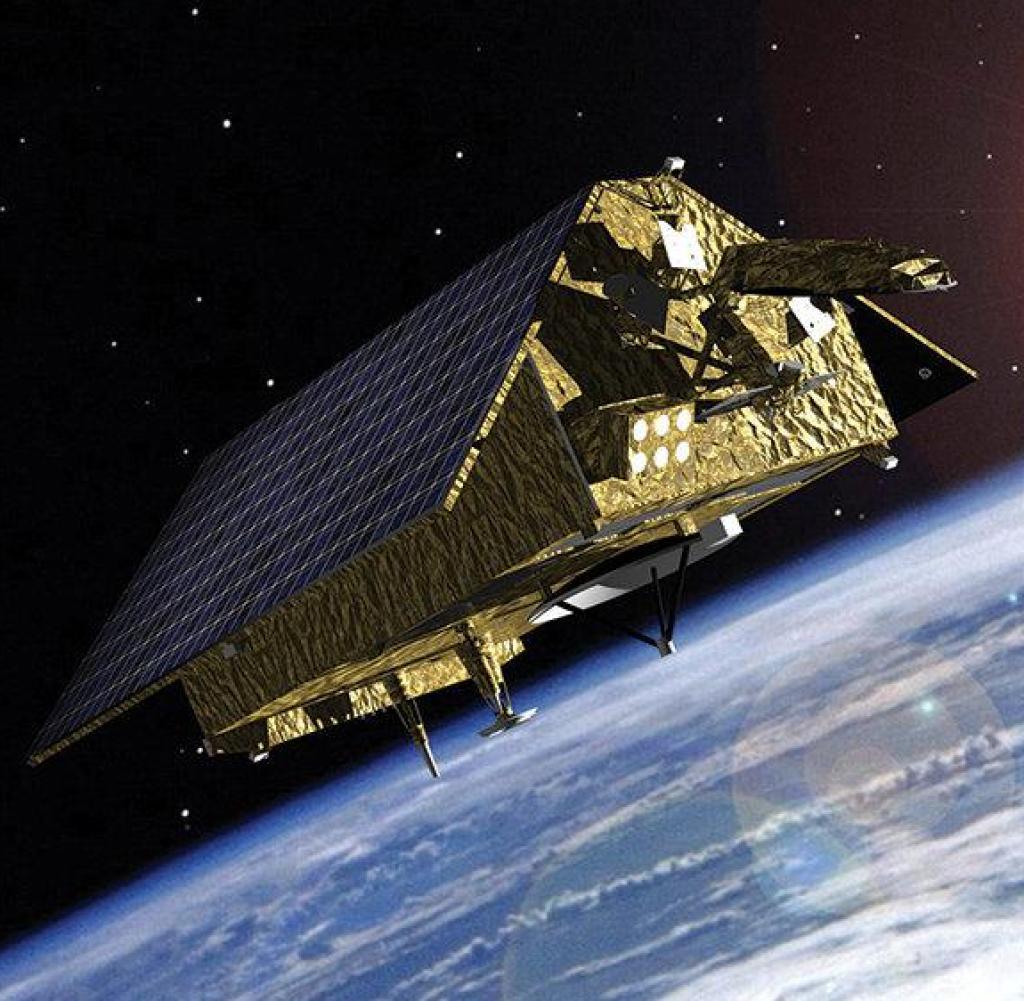
The EnMAP, about the size of a small car (3 x 2.1 x 1.5 m) and weighing 850 kg, was transported by the company’s Falcon 9 rocket. SpaceX From Cape Canaveral, Florida to one Sun-synchronous orbit Its height reaches 653 kilometers. Gradually, all research satellite systems are booted up and extensively checked to see if everything is working properly.
Operational use of EnMAP is then scheduled to begin six months after launch. With his measurements, he will close a gap in modern Earth observation from space. “Through EnMAP, Germany is making an important contribution to European space technology for the benefit of our planet,” says Christmann.
The German Aerospace Center The Oberpfaffenhofen is responsible for operating the satellite. The German remote sensing data center and the DLR Institute of Remote Sensing Technology Archiving, processing and validating satellite data from EnMAP. It will then be available to the scientists to answer their own questions. Companies and authorities can also develop new services based on this data.
The satellite and its hyperspectral instrument were developed and built by OHB-System AG. The scientific management of the five-year EnMAP mission is located at GeoForschungszentrum Potsdam (GFZ).

“Total coffee aficionado. Travel buff. Music ninja. Bacon nerd. Beeraholic.”


More Stories
Coral Seeding: Artificial Insemination Makes Coral More Heat Tolerant
Fear, Anger, and Denial: How People Respond to Climate Change – Research
LKH Graz: Using radiation to combat heart arrhythmias