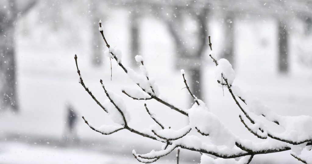
The experts in Austrian Severe Weather Center Expect to see one of the most striking snow events of the past 10 years in the eastern lowlands in the next few days.
Thursday spreads winter
On Thursday night, heavy snowfall spread across most of Austria, with the largest amounts of snow expected initially in East Tyrol and Carinthia as well as in Vorarlberg. “In the morning crowd on Thursday So winter conditions need to be planned across the country,” Manfred Spatzerer, chief meteorologist at the Severe Weather Center warns on broadcast.
Snow is moving east
In the morning hours the focus shifts more and more from the mountains to the east and southeast of the country and from the Weinviertel through Vienna to Burgenland it snows heavily in the morning. “In the eastern flatlands and in the northern Alps, a few centimeters of fresh snow will gather together by evening,” Spatzier predicts. In the second half of the day, you still have to calculate the conditions of the deep winter roads in the east, otherwise the density will drop significantly.
The heaviest snowfall in the region in ten years
Discounting the depression to the northeast, the Friday night snowfall also subsides in the northeast. Until then, however, ten to 20 centimeters of snow will collect from Weinviertel through Vienna to northern and central Burgenland, or a little more places at Seewinkel and in March. “Such a striking snow event in the eastern and southeastern flatlands last occurred in the winter of 2012/13, and thus nearly ten years ago,” says Spatzerer.
The rift zone to the west and the development of low pressure over the Mediterranean brings a lot to the table until Thursday evening…
Posted by ZAMG – Central Institute of Meteorology and Geodynamics A.m Wednesday December 8, 2021
Up to 40 cm of fresh snow in the mountains
In the mountains, you can expect 20-40 cm of fresh snow. In Vorarlberg, East Tyrol and Upper Carinthia, there are also up to 50 or 60 cm of white splendor in some areas. But other than that, five to ten centimeters would be expected in all of Austria, only in the western Danube around Linz it would likely be just a very thin layer of snow. Snow cover occurs nationwide at the beginning of December approximately every five years from a climatic point of view.
It snows on Saturday
After a brief lull on Friday, snow temporarily fell heavily in the west on Saturday night, and at the weekend winter continues along the northern Alps. A few centimeters of fresh snow is added here. Large amounts of new snow are no longer expected according to the current situation, and in the south, thanks to the strong northern Fohn, the sun often rises again.
White Christmas this year?
Temperatures across the country remain at winter levels. A slight rise in temperatures at high altitudes is unlikely until the new week, while at the same time the tendency to cold and fog-prone solstices increases in the lowlands of the eastern half. So the snow that fell relatively well in the second half of December can be preserved not only in the mountains, but also in some lowlands. The chance of a white Christmas increases especially in the Alps and in the South.
(Source: SALZBURG24)

“Food practitioner. Bacon guru. Infuriatingly humble zombie enthusiast. Total student.”


More Stories
Kyiv: Russian Kursk offensive halted
US Presidential Election: Former US Government Officials Warn Against Donald Trump's Election
Netherlands wants to leave asylum system